Date I attempted Mt. Agassiz: September 28, 2019
Result: Failed to reach peak
Work had brought me out to California and I used the excuse to make one more 2019 trip to the Sierra with hopes of hiking Mt. Agassiz and Middle Palisade.
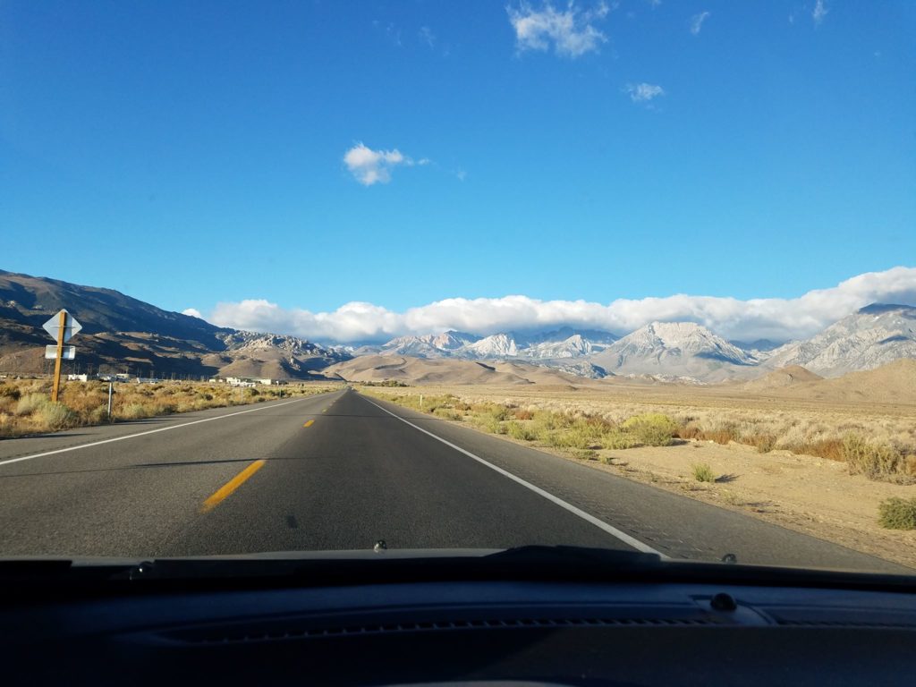
The plan: Drive to Los Angeles from San Francisco on Thursday, head to Bishop after a quick detour at the Whitney Portal on Friday, hike Mt. Agassiz on Saturday, and then climb Middle Palisade on Sunday before returning to LAX for a red-eye back to Chicago.
Weather
Unseasonable weather kept me from both summits. Though the week had been hot, shifting winds brought a deep chill and snow. Mountain forecasts showed single-digits on Mt. Agassiz’s summit and wind chill more than ten below zero, driven by 35-45 mph gusts.
Snow came, too, in small hail-like pellets. Fortunately during the hike it never shrouded visibility, but it would coat the Palisades with a few inches overnight.
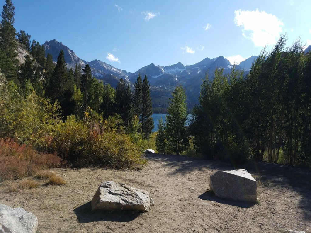
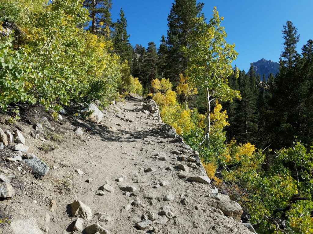
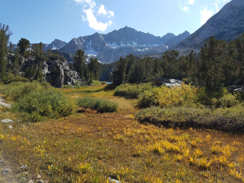
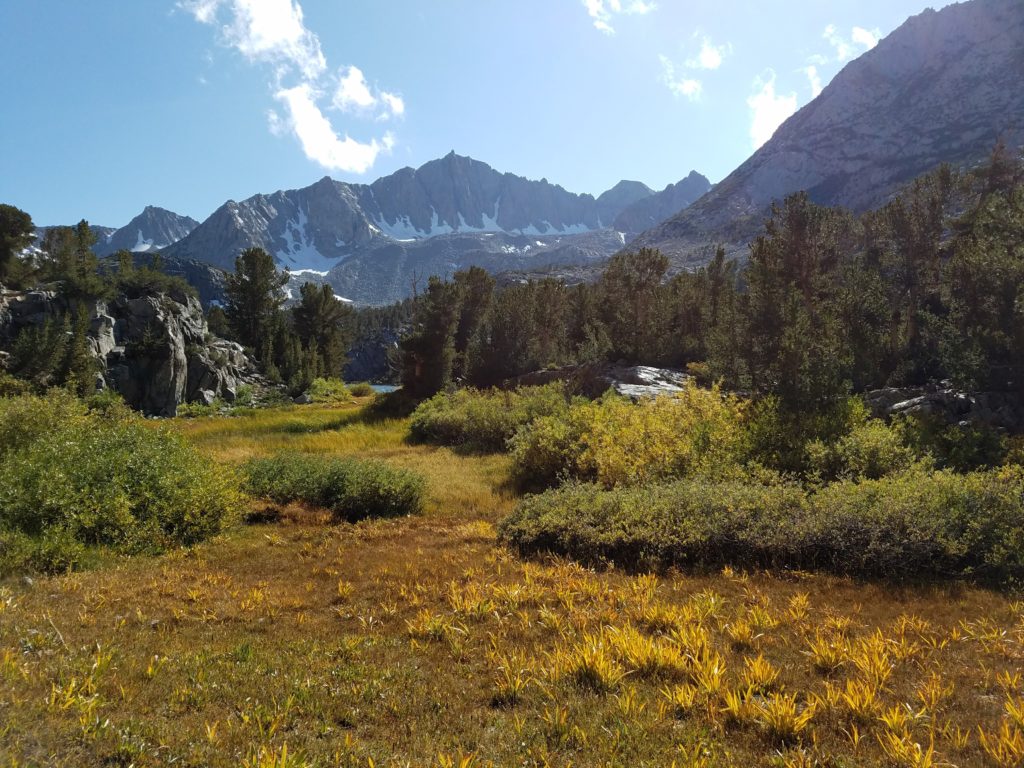
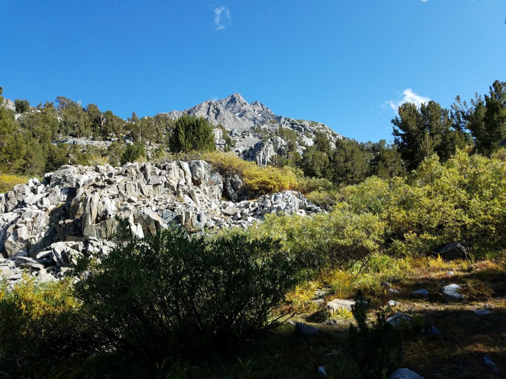
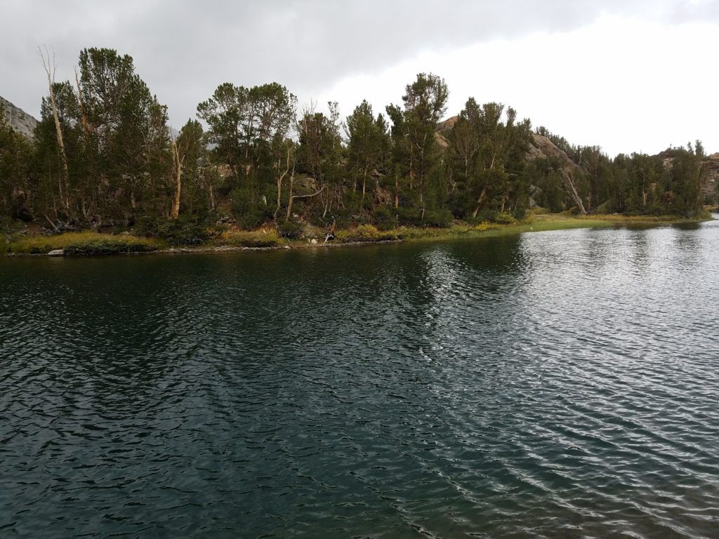
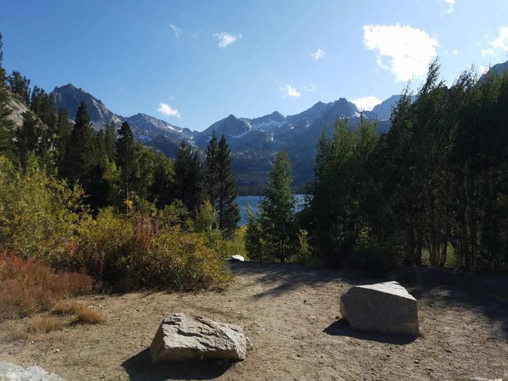
Bishop Pass Trailhead
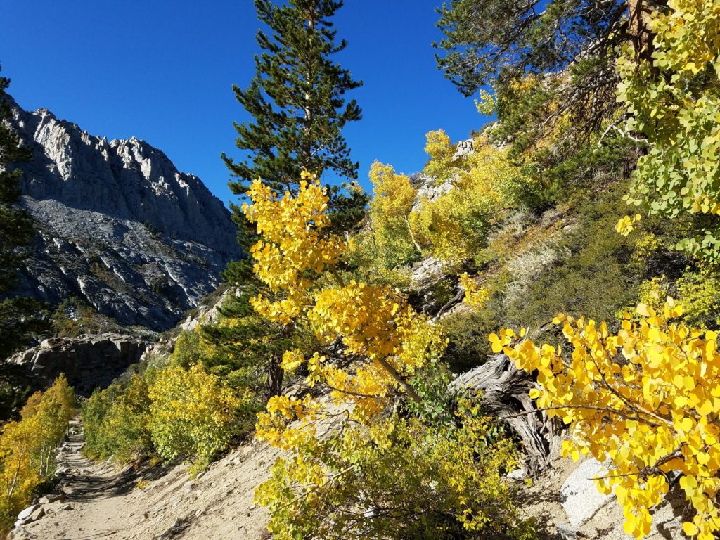
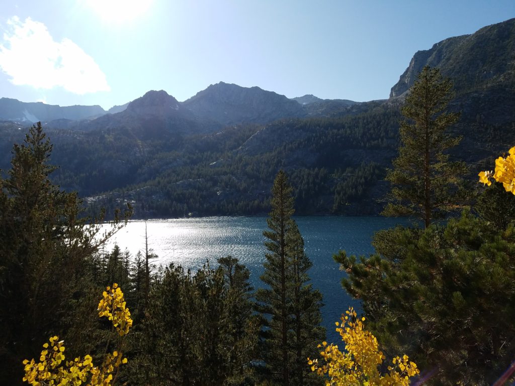
I reached the Bishop Pass Trailhead at South Lake after a beautiful drive through winding birch forests lit yellow with the season’s turn. A chilly 40 at 8:20a with strong winds and abundant clouds, I quickly prepared and hit the trail.
A group of hikers from MeetUp stood at the trailhead preparing to tackle a peak in the Inconsolable Range. I can’t remember which, though I think it was Chocolate Peak.
The aforementioned snow started just steps into the hike and would flair every 15 or 20 minutes before temporarily blowing through. Despite it, I kept my heavy jacket and pants tied around my waist and scurried through forest and into the John Muir Wilderness.
My first trip to the Eastern Sierra and the Inyo National Forest, the scenery’s transformation from arid valley and dry leeward slopes to lush forest amazed me. Nature is incredible.
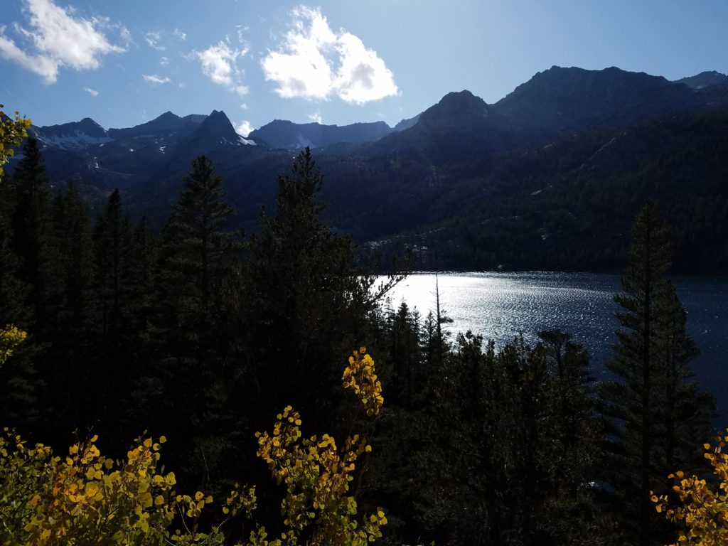
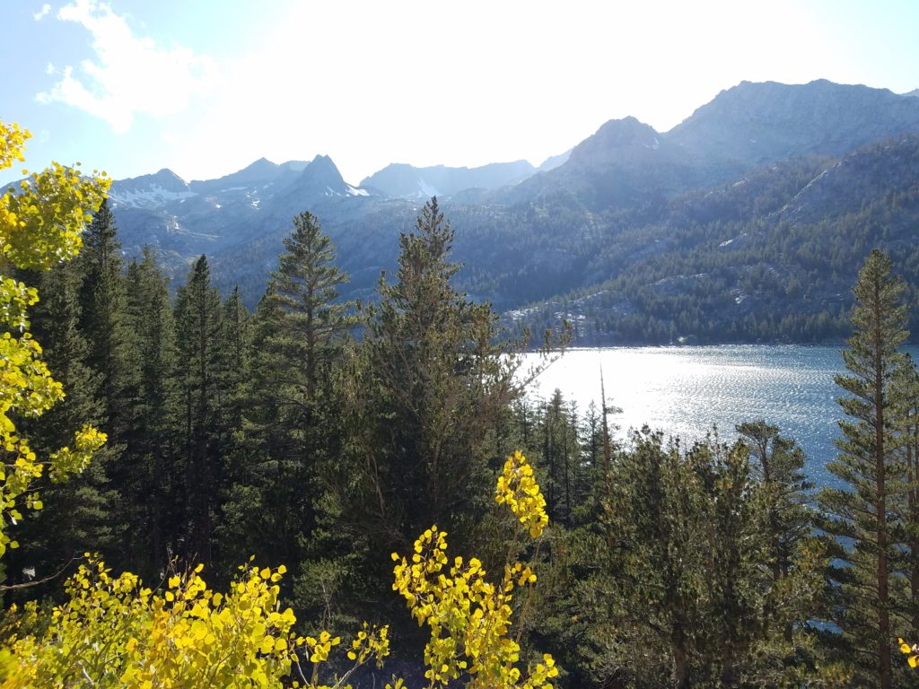
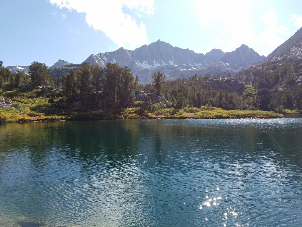
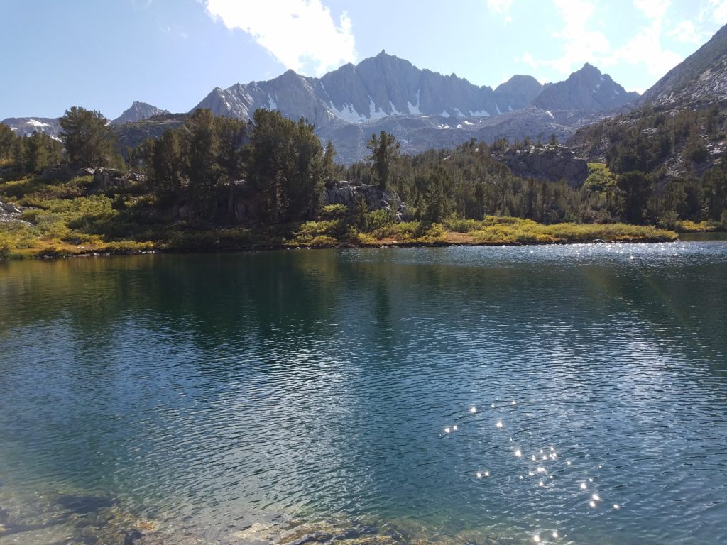
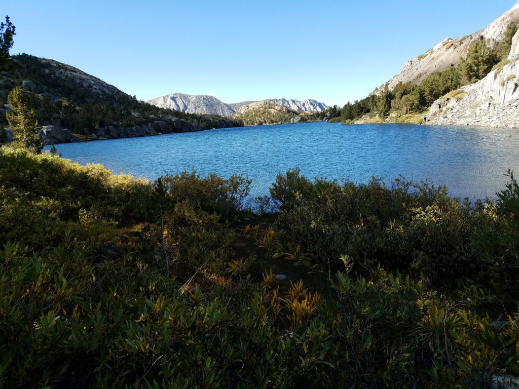
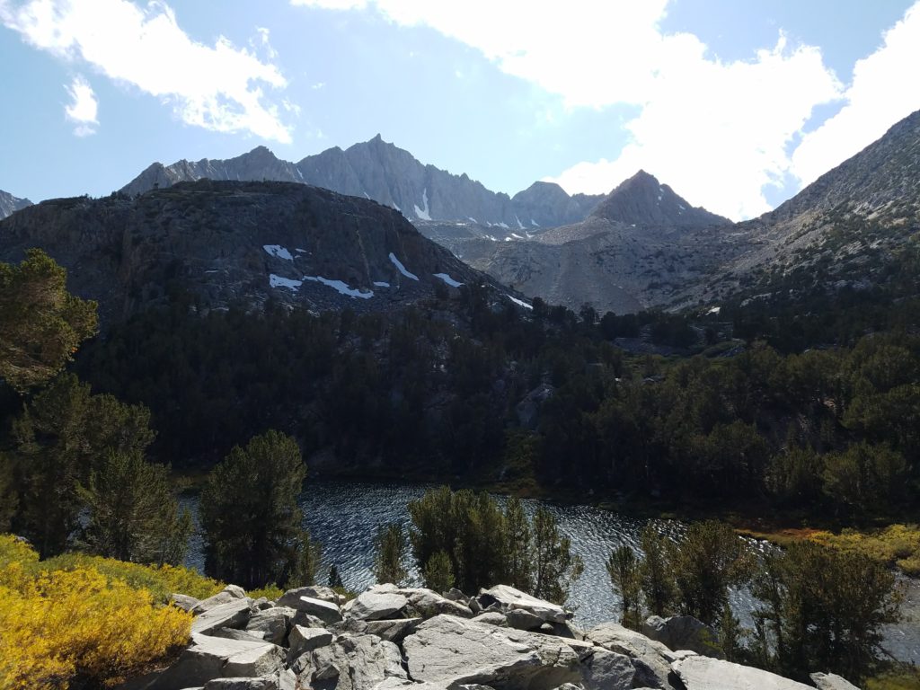
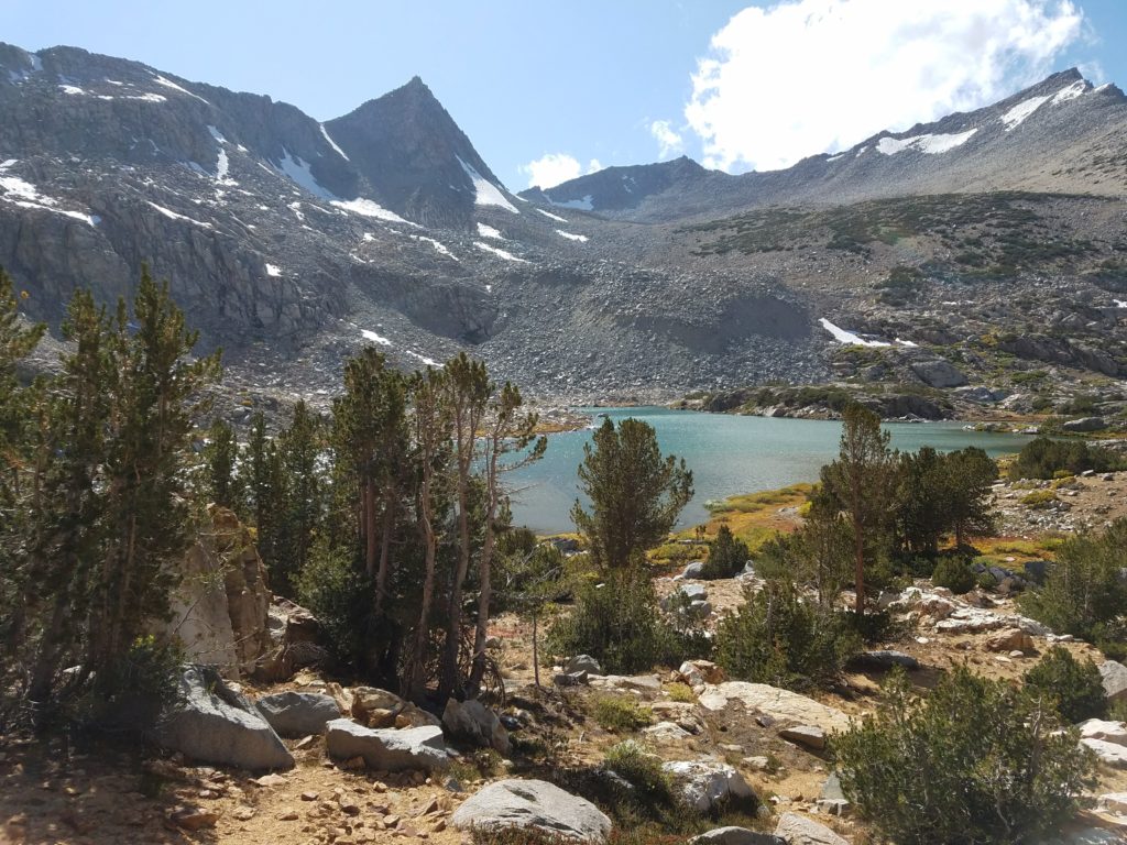
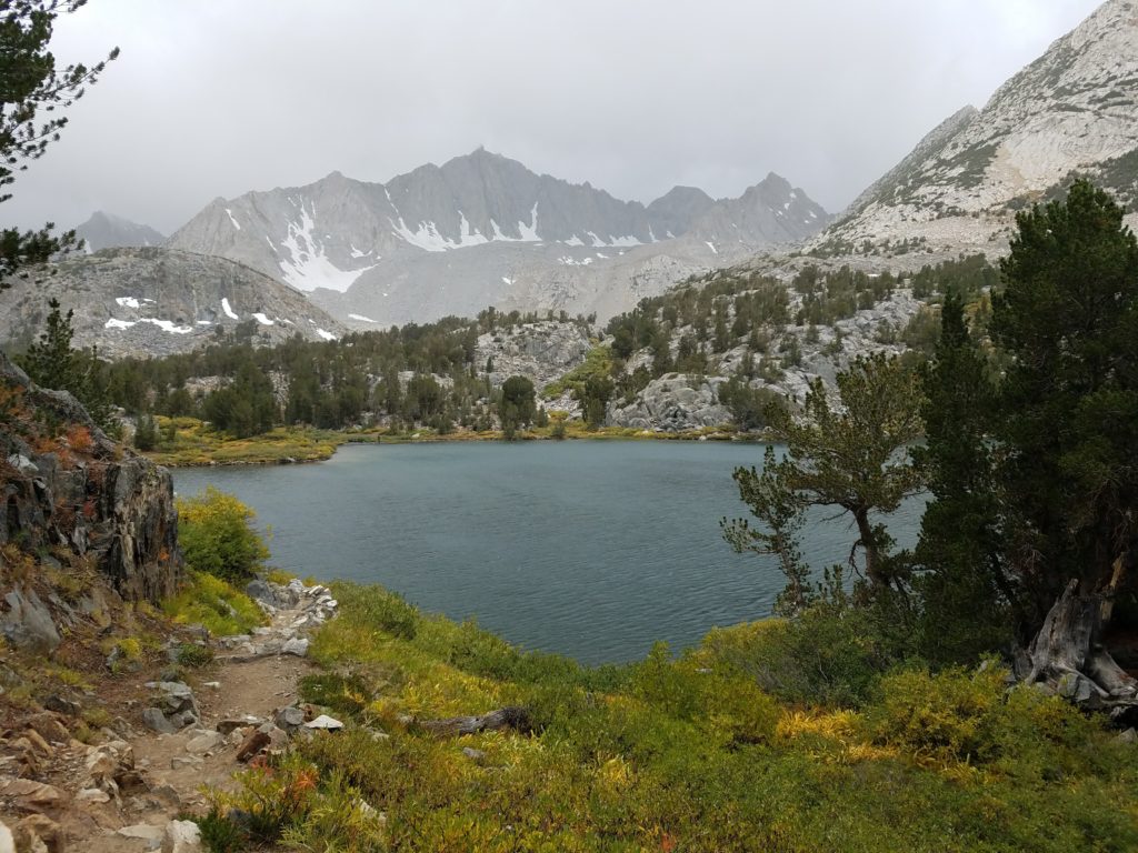
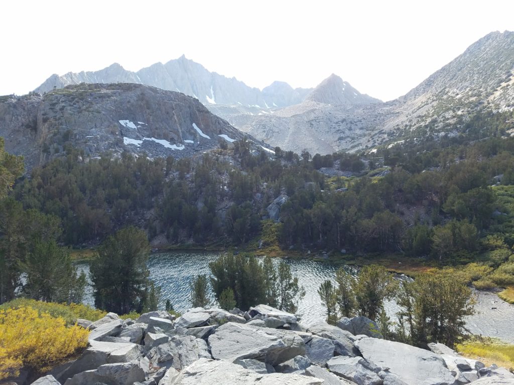
Long Lake
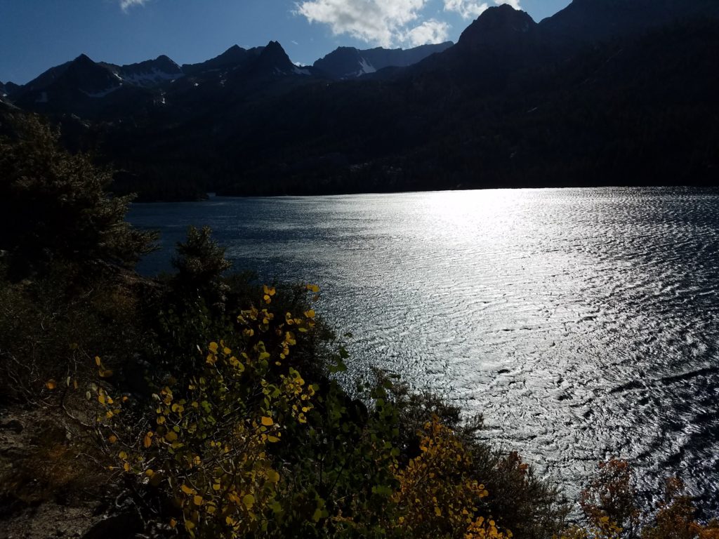
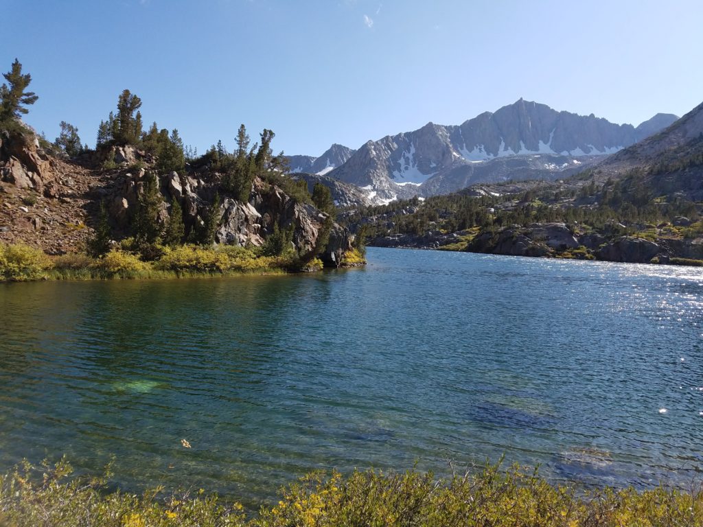
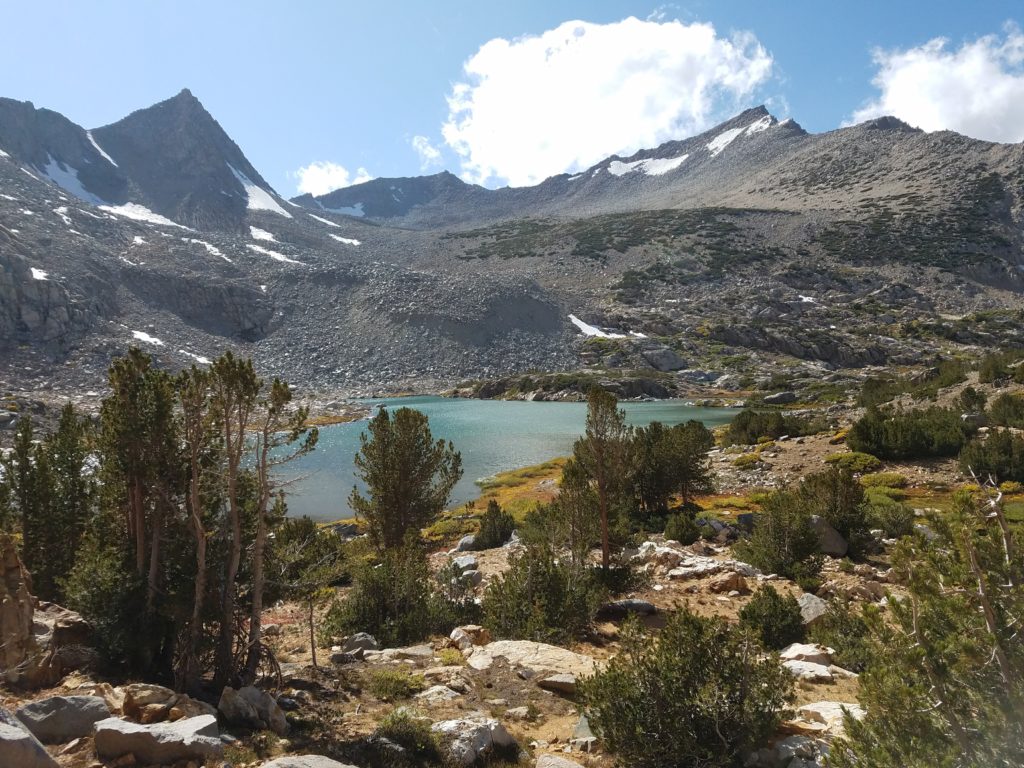
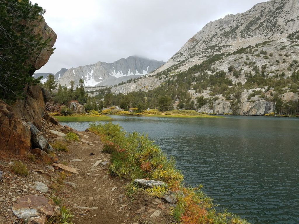
Before long, I reached the second lake: Long Lake, nestled between Hurd Peak and Chocolate Peak. True to its name, the lake stretched for a while along the trail, grey in the filtered light. Weather conditions hadn’t improved, but hadn’t worsened. With no snow on the forecast, I hoped the clouds would blow through by mid or late morning.
At this point, I realized I made a rather crucial mistake: I left my food in the AirBnB. I had enough granola bars stashed that I would been fine – or close to fine – on the calorie front, but I sure felt like an idiot after preparing a meal and snack the night before!
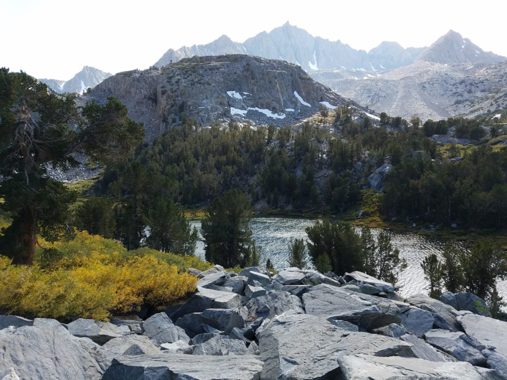
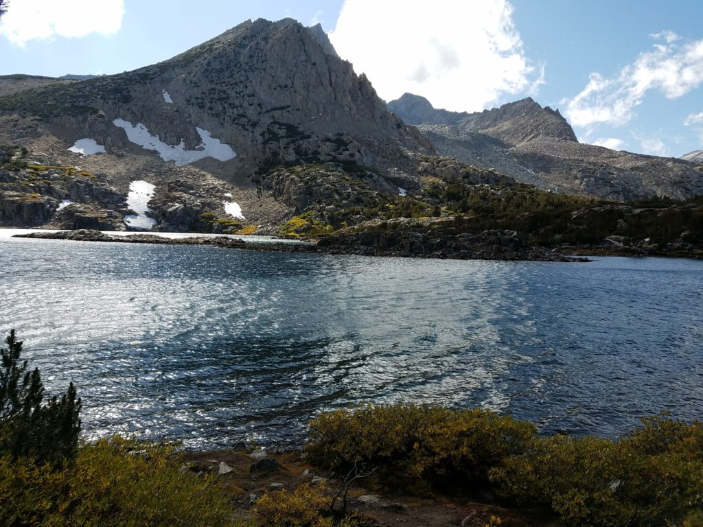
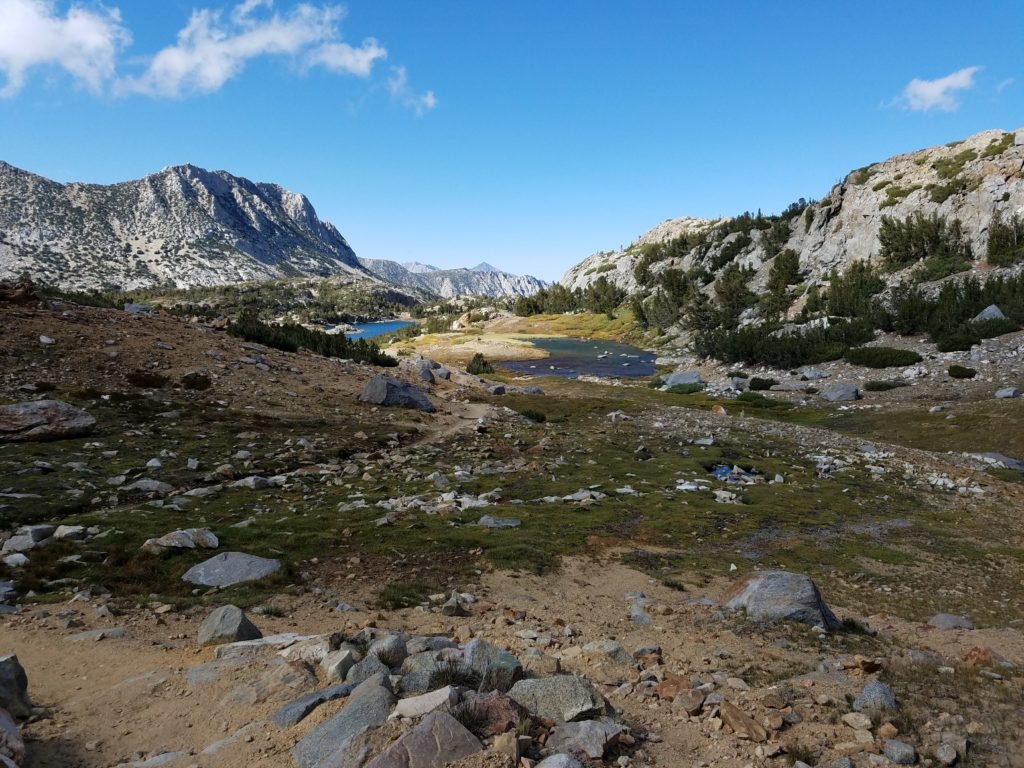
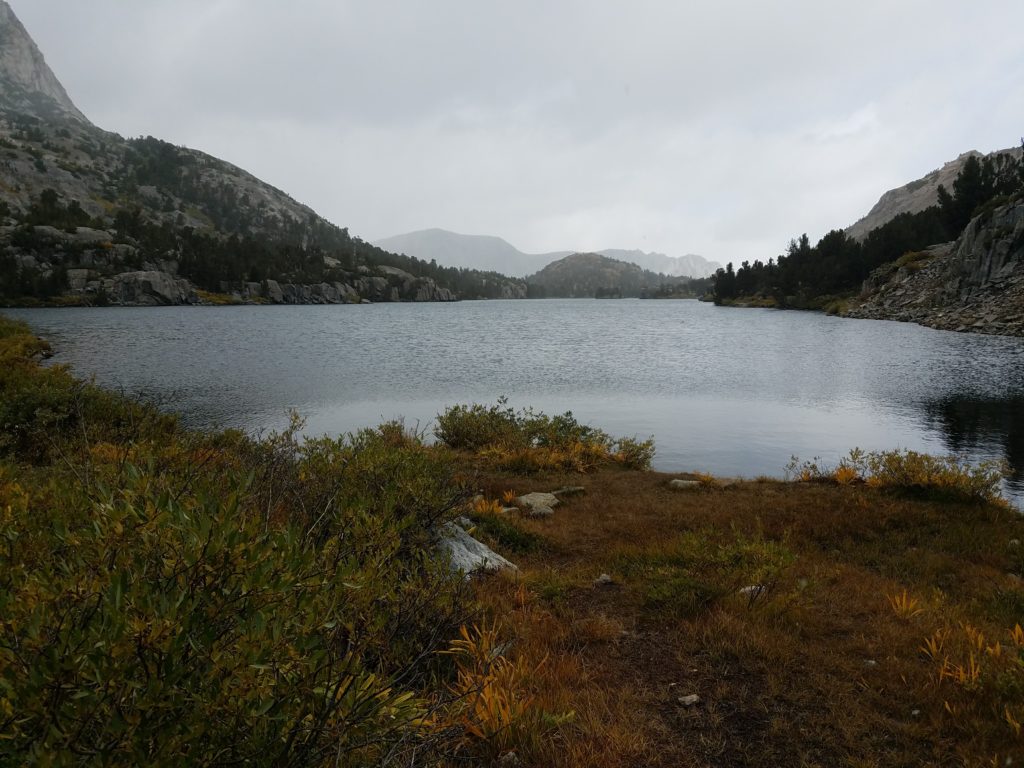
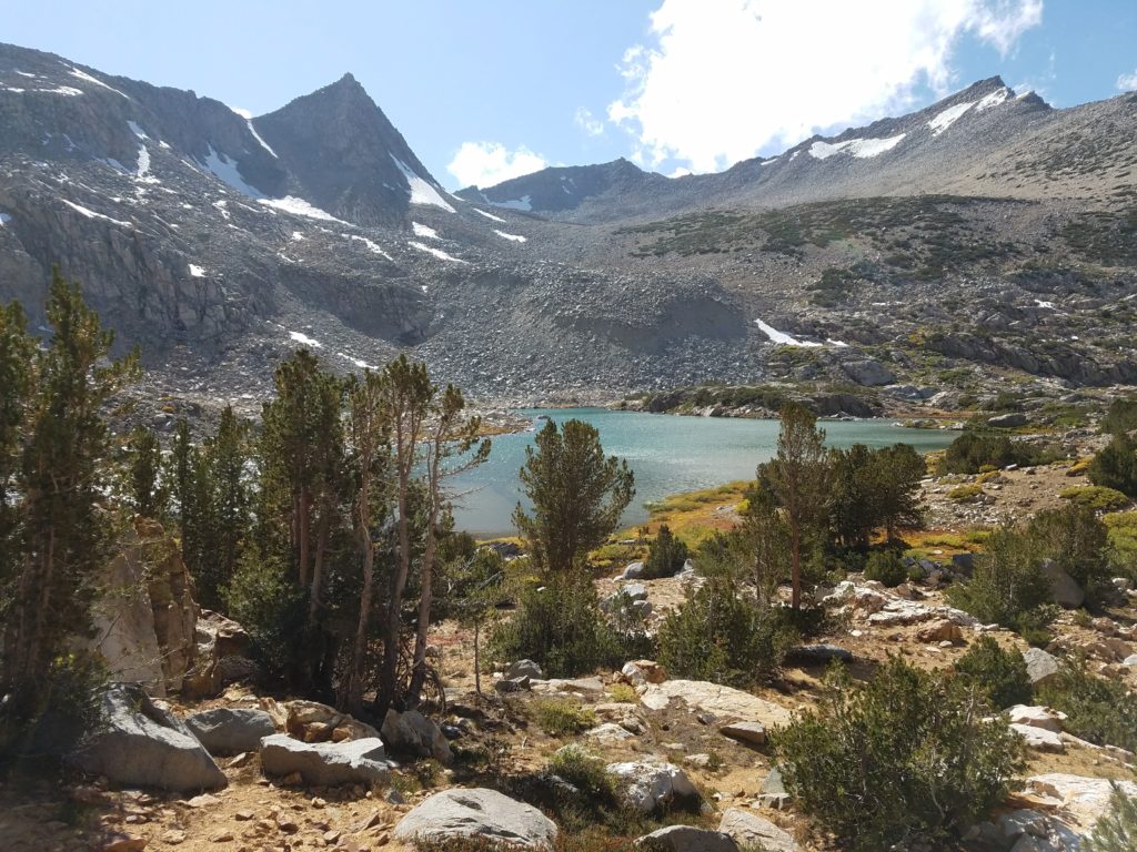
Saddlerock Lake and Bishop Lake
Altitude starting hitting me as I reached Saddlerock Lake at 11,000 feet. Nothing bad yet, just a pace slower than desired and the typical need for accelerated breathing.
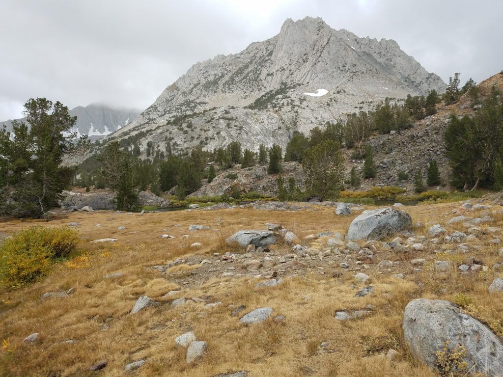
I continued making decent time to Bishop Lake, where I paused briefly to eat a granola bar. Bishop Pass looked close.
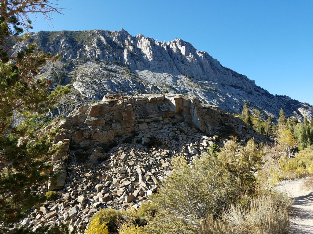
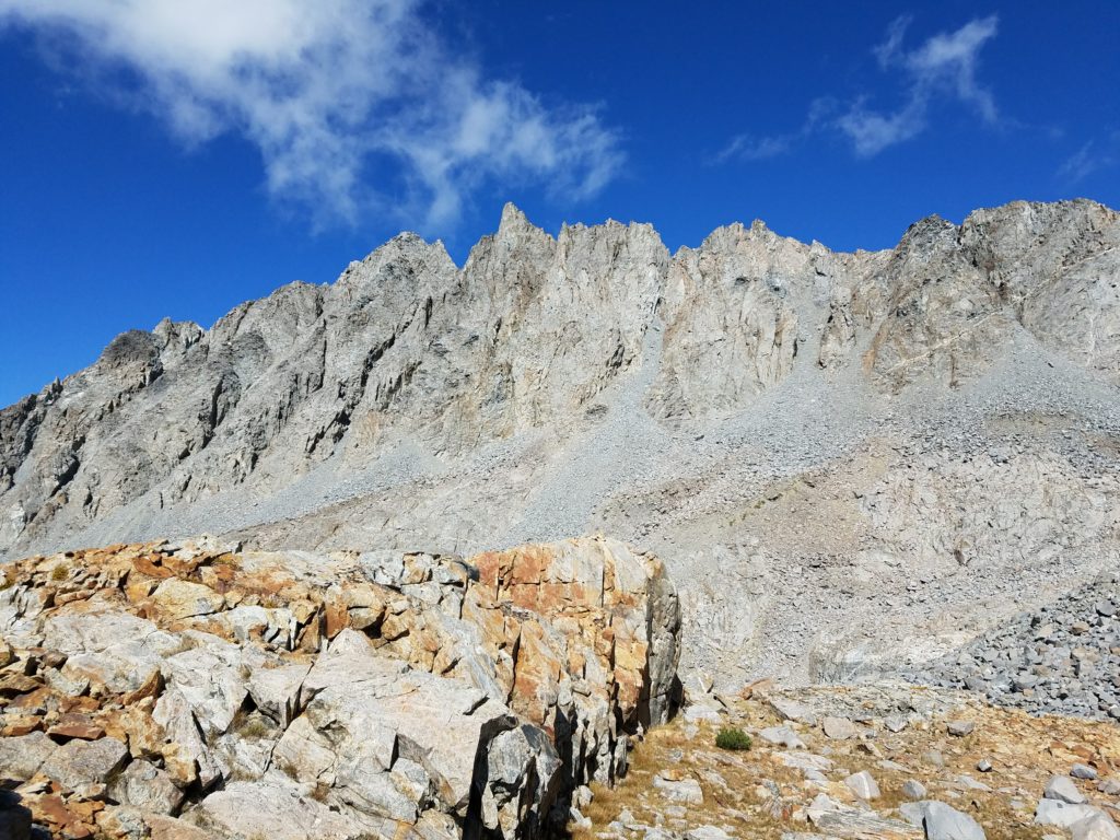
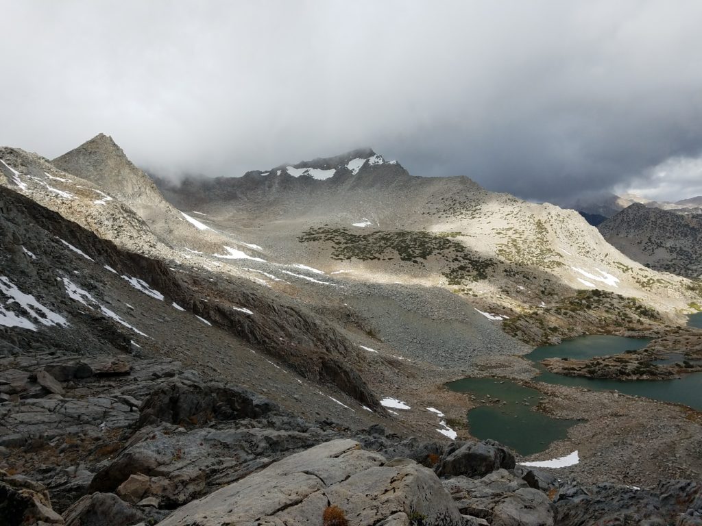
At this point, I still hadn’t actually seen Mt. Agassiz. Clouds shrouded the mountain, as well as the Inconsolable Peaks, including Cloudripper, Picture Puzzle, Gendarme, and Aperture. Ditto the Evolution Crest peaks – Mt. Goode and Mt. No Goode – and the eastern basin of the Kings Canyon National Park.
Obviously disappointed by the lack of views (not to mention the frigid weather), I continued, putting on gloves for the first time as my hands chilled from holding hiking poles.
The coming switchbacks slowed me down incredibly and worsened my budding altitude sickness. They took 30-45 minutes when I initially figured I could reach Bishop Pass in 15.
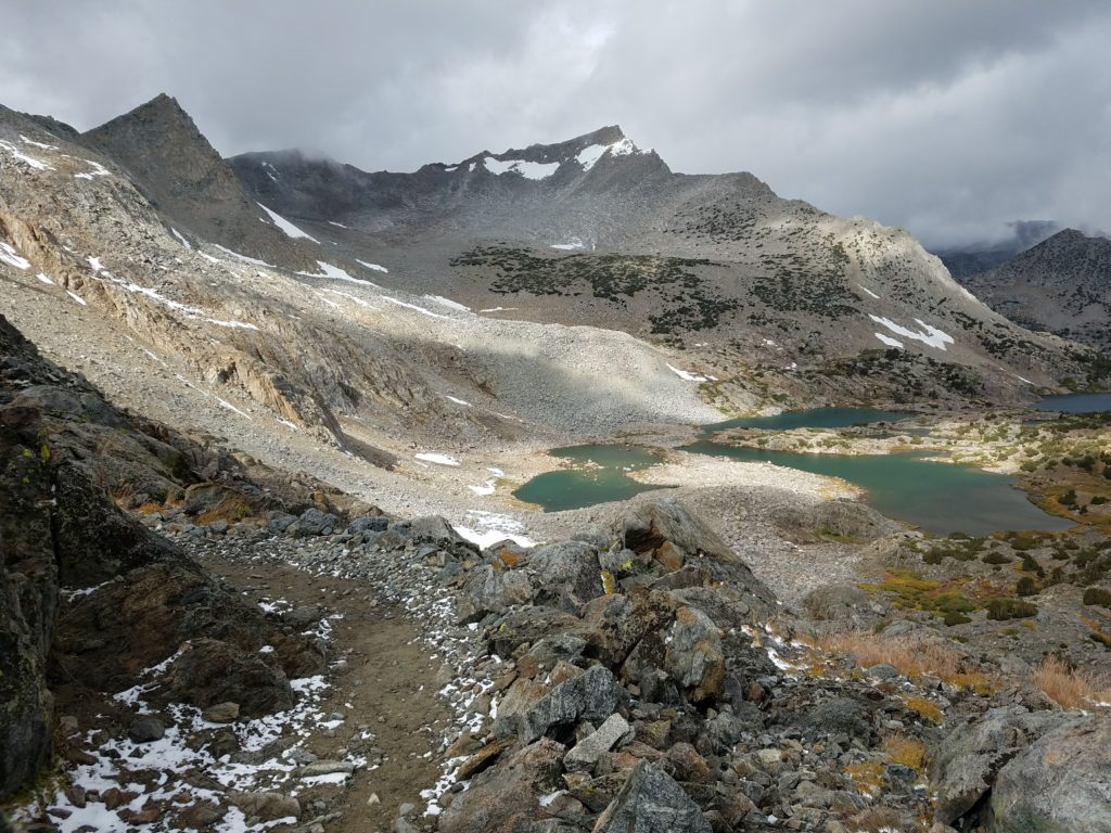
Bishop Pass
On topping out at 11,800 feet, I felt a strange lethargy descend over me. I wanted nothing more than to take a long nap. Finding a large rock, I nestled myself out of the wind, munched another granola bar, and closed my eyes to rest.
After a dozen minutes I stood up wearily and, still longing to sleep, went back to the trail and scouted a route to Mt. Agassiz.
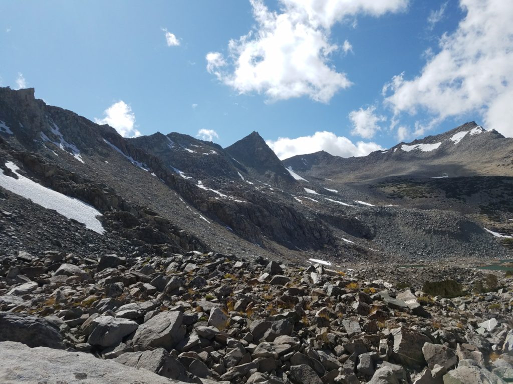
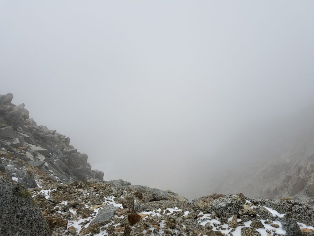
I still couldn’t see its summit or the last few hundred feet. Across a boulder field, a couple of snow patches, and a tarn, I identified two potential chutes. Both led into the clouds, themselves racing through the mountains.
Truly, the clouds flew through the pass and Mt. Agassiz, a relentless sea of incoming grey broken only by fleeting sections of blue. It drove the snow pellets sideways, but there had been little accumulation and no signs of heavier precipitation.
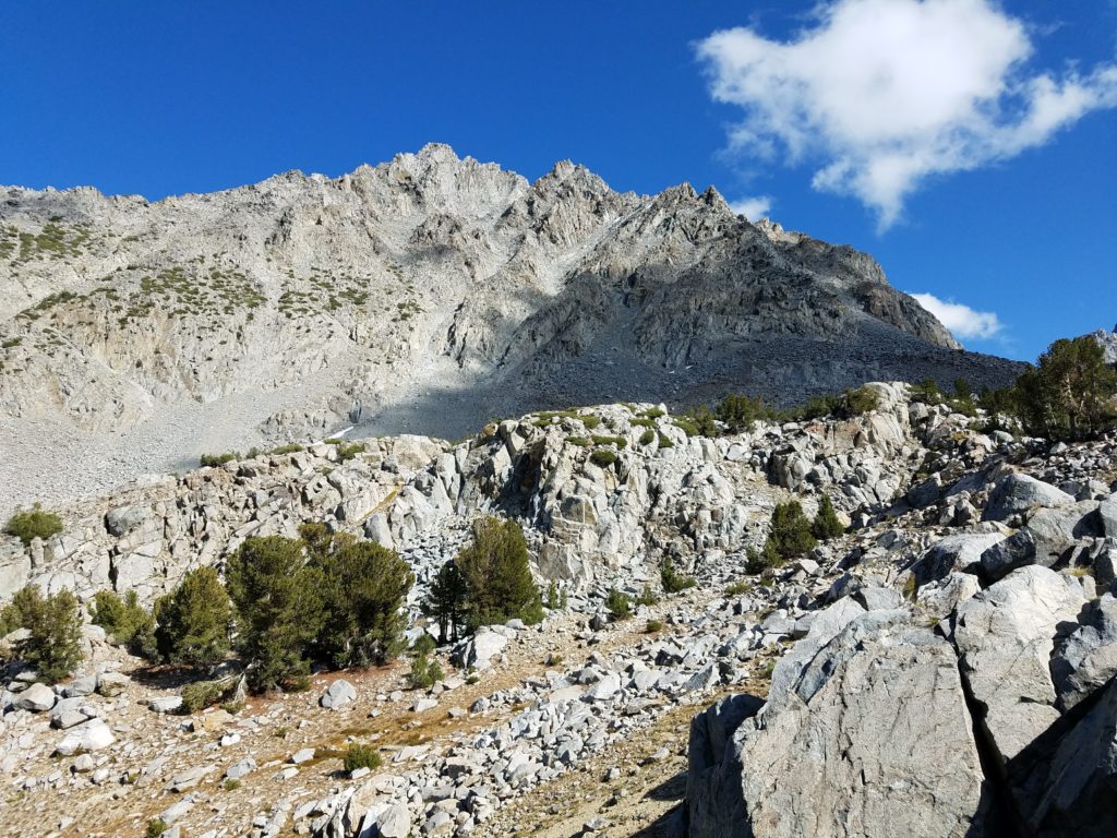
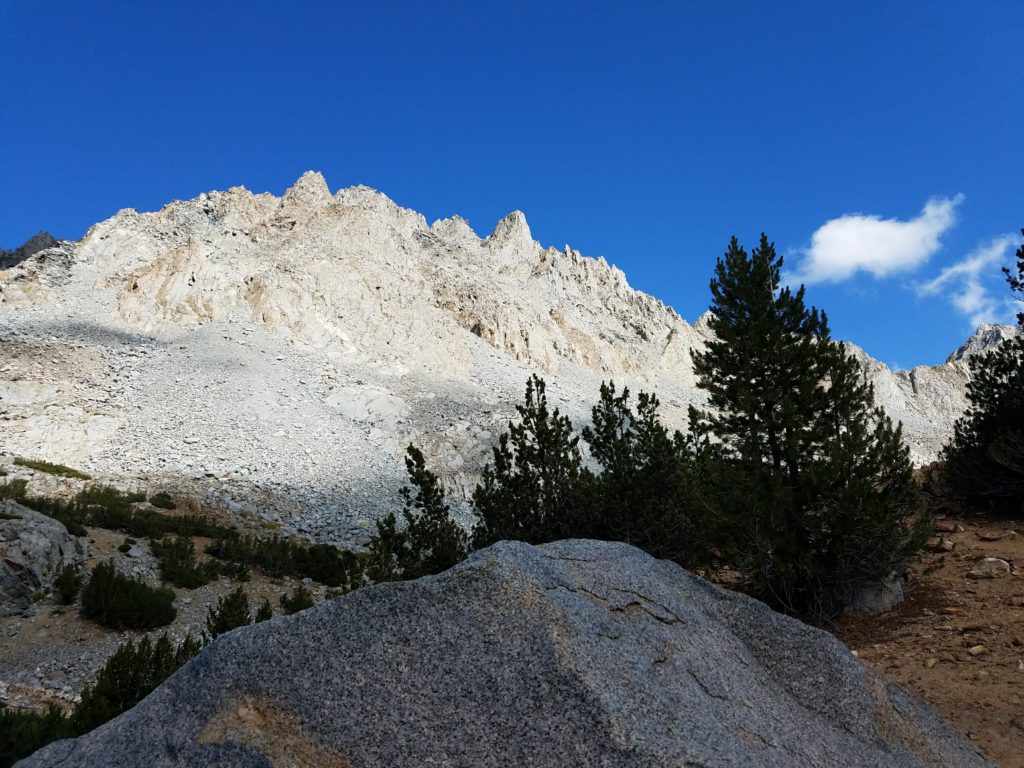
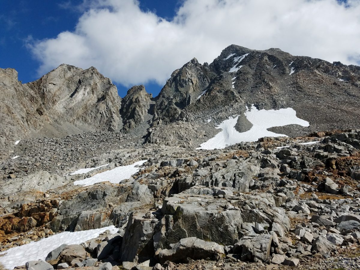
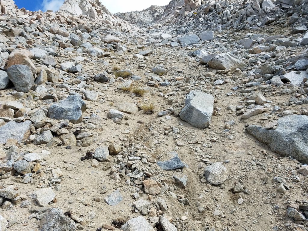
Mt. Agassiz Chutes
I opted for the northern chute (note: This was still a chute on the western face) for reason of proximity. It cut down on cross-country travel and light elevation gain. I wanted to immediately start climbing. And besides, it looked like the two would converge before too long.
This chute stood north of the most commonly used west-face chute. Again, at this point I could only see a few hundred feet up the mountain and couldn’t track how the chutes topped or matured. The one I chose looked easiest.
As I trekked over, the wind worsened as it blew unimpeded through the Dusty Basin and quickly numbed my hands. By the time I reached the chute’s base, I couldn’t feel my hands at all and decided it would be foolish to continue without first warming them. Higher elevation would only make things colder.
Hunched behind a large rock, head throbbing from the altitude, I warmed my hands against my stomach. Some 10-15 minutes later, hands content, I donned my heavy ski gloves and resumed the climb. It was around 11:30.
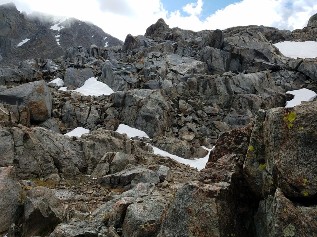
The climb started with ease. Simple Class 2 scrambling in and out of the clouds. The chute’s ridge blocked most of the wind, keeping me warm enough.
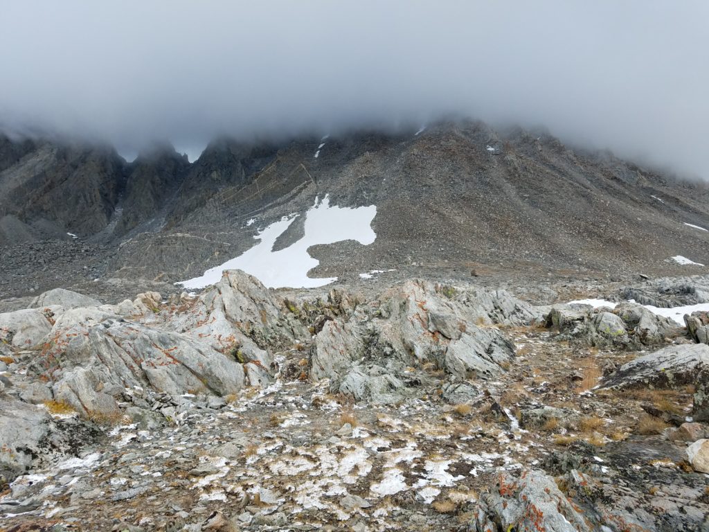
Climbing in the clouds
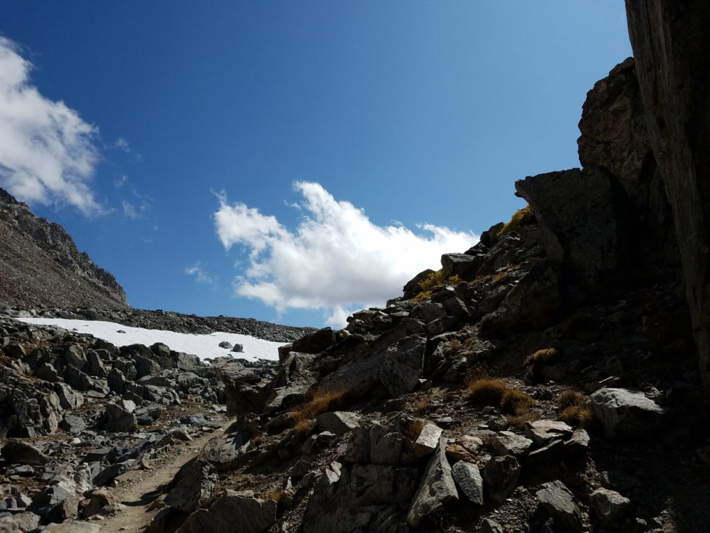
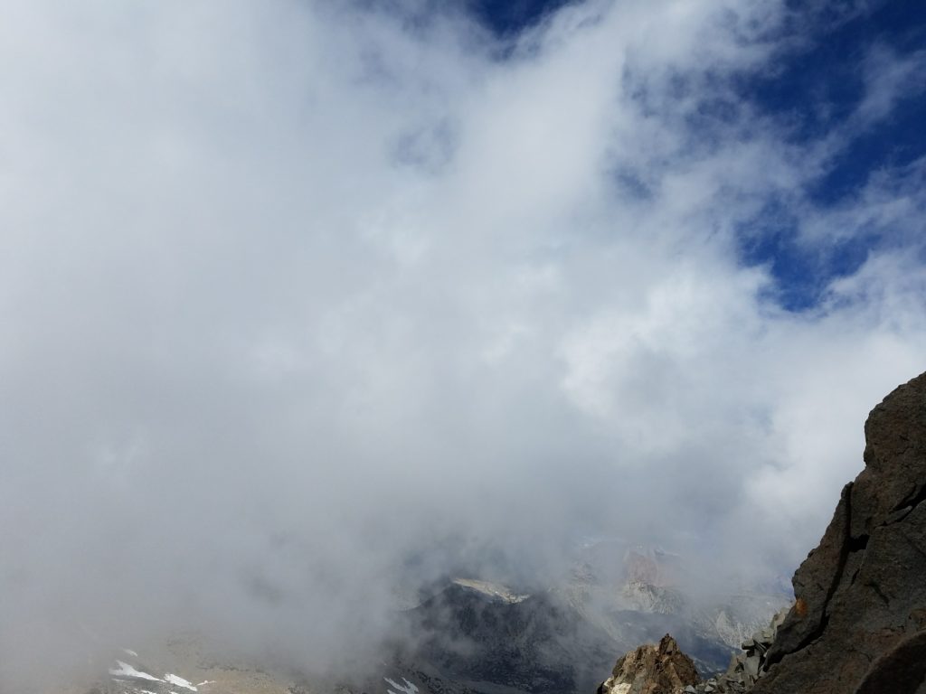
Intermittent greyout conditions blocked the view below and never let me see Mt. Agassiz’s summit. I frequently could only see 50 feet up. Despite the low visibility, snow had stopped and the worst clouds blew through quickly. Knowing an easy Class 2 scramble stood ahead with very little threat of devolving weather conditions, I continued.
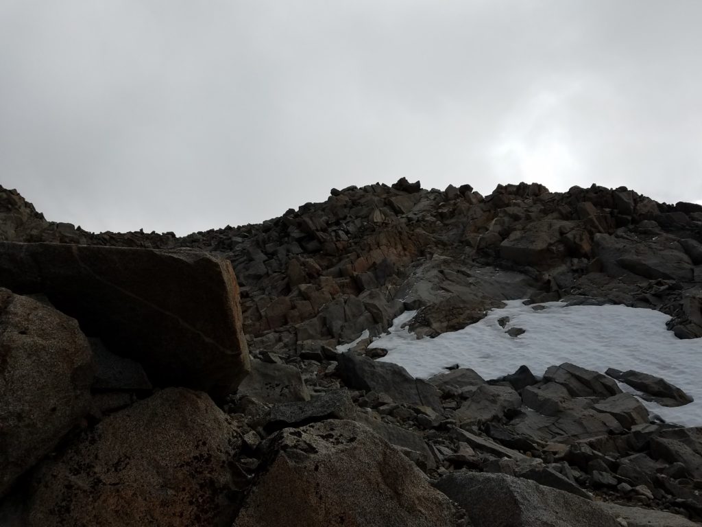
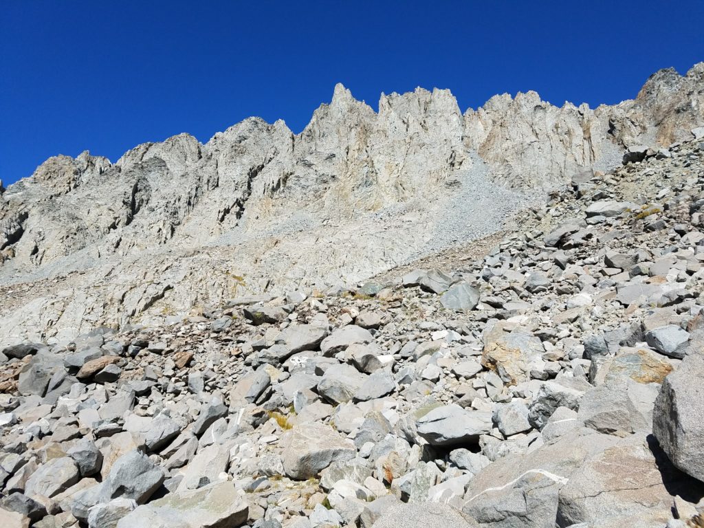
By noon I had climbed to 13,000 feet and reached the top of the chute. The rocks directly above looked difficult to traverse and I couldn’t see what lay immediately thereafter because of the clouds. I opted instead to climb over the ridge to an adjoining chute (the main chute to which all cairns lead. It goes to the summit.
Traversing to the main Mt. Agassiz chute
Unfortunately, this chute’s opening lay directly in the wind’s path. Gusts swept through it to the summit, itself still clouded. Wind-whipped snow pellets again fell and naturally the temperature dropped.
My head had really started hurting from the altitude, but up until this point I thought I would still reach the summit I hadn’t seen. As I climbed, the wind, from time to time, briefly blew away the lowest clouds and I finally viewed the summit sitting less than 800 feet above.
After a hundred feet the rocks grew slick. My feet slipped on black ice. I felt less confident. Couple the deteriorating rock conditions with a realized loss in precise motor movements from the altitude sickness, and my earlier confidence in reaching the peak dissipated.
At 13,300 feet, I reached an impasse. Easy Class 3 moves stood at the chute’s side, but I couldn’t see what lay thereafter. Clouds covered it. A smooth rock face incline lay ahead, something generally easy to climb but this time with the thinnest layer of ice. That ice would make it a difficult scramble and though I could do so going up, I worried about slipping on descent.
I poked around and tested various footholds to avoid ice, but all had enough of it to become dangerously slick. At this point, I retreated. Assuming worse conditions above and a likely further decrease in movement finesse that would make a slippery descent worse, I backtracked and sat behind a boulder outcropping for a drink and to take my first pictures in the chute.
I felt terrible. Climbing to 13,300 – just 500 short of the summit – after acclimating only to 4,000 overnight was not a good idea. Nausea and light-headedness rolled through and I got up to descend as quickly as I safely could.
Turning Around
As mentioned, my fine motor skills had deteriorated. Though I never fell, I definitely stumbled a bit and felt rather faint. By 1 or 1:15 I had exited the chute and descended almost 1,000 feet, but I felt my worst yet.
I stopped just short of the Bishop Pass Trail to rest for a while and eat more granola bars. Sitting helped and I reveled in my first real bout with altitude sickness.

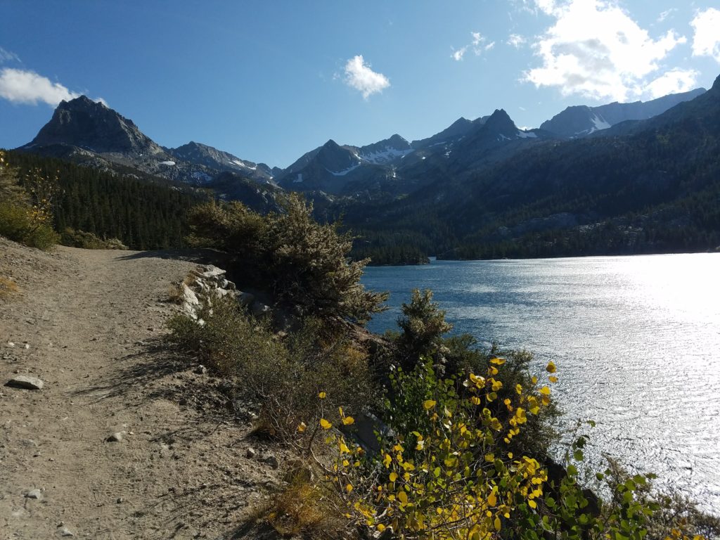
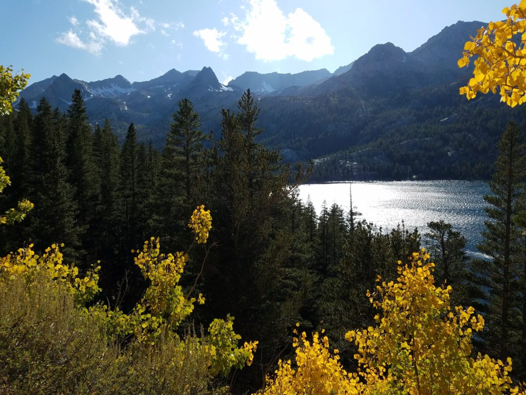
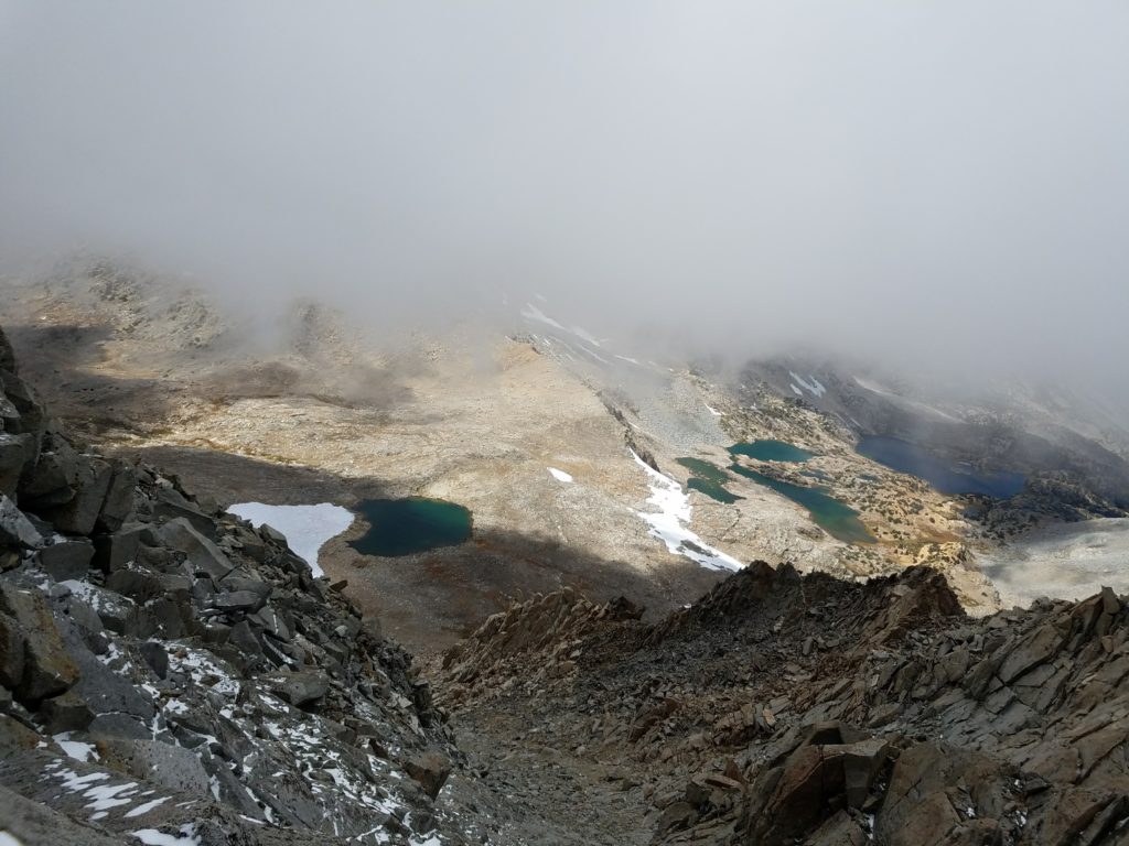
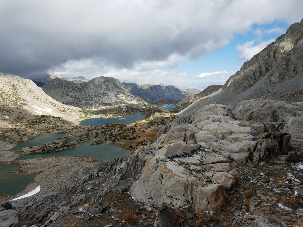
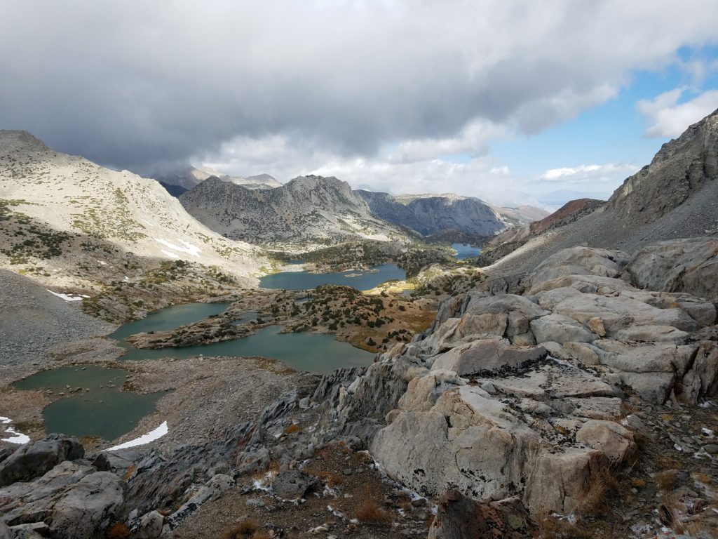
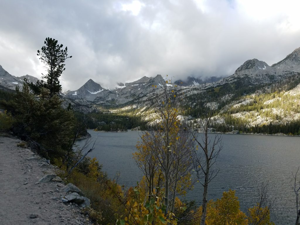
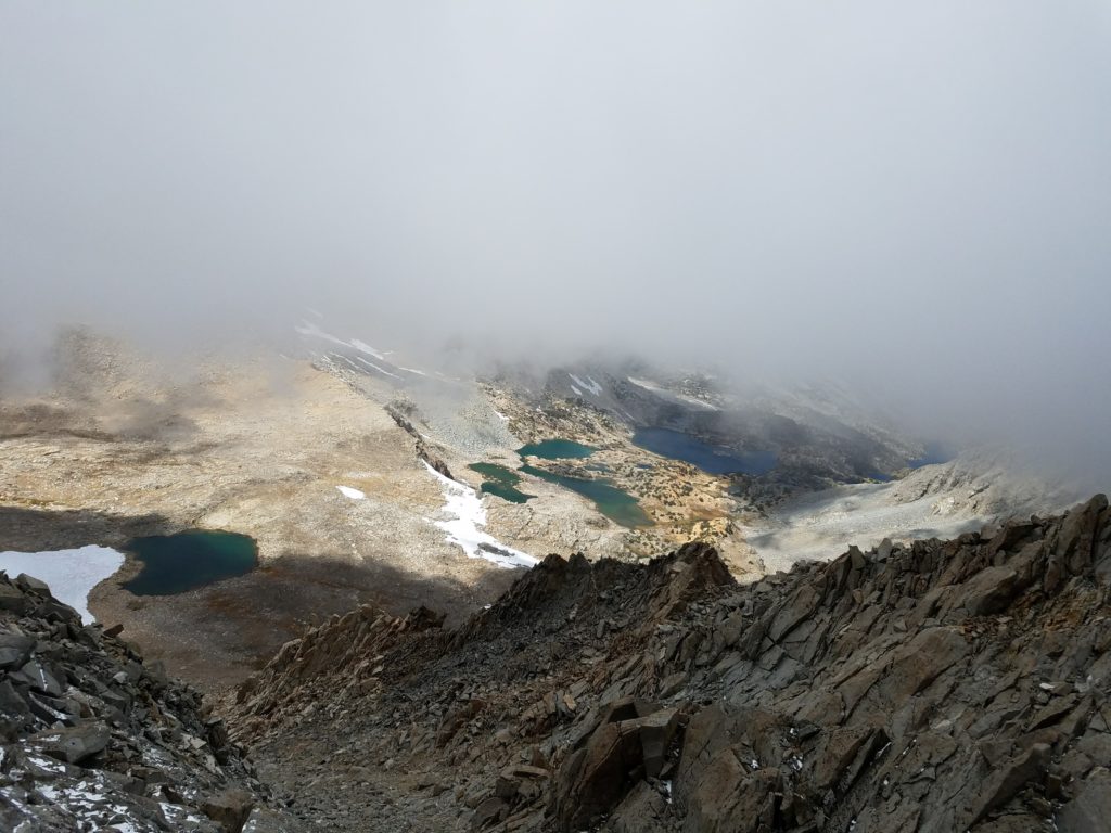
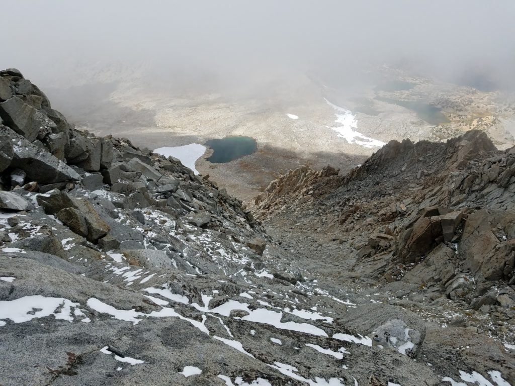
The clouds had finally broken, the wind blowing them over the Palisades and they disappeared with the escarpment. Looking back, Mt. Agassiz started to appear in more glory.
Back to the Trail
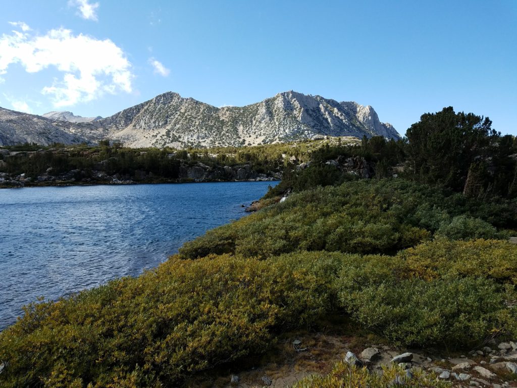
Around 1:30 I continued down the trail, moving as fast as I could to lose altitude. Switchbacks past, Bishop Lake reached, soon Saddlerock. I remembered on occasion to see the stunning view that had opened up behind me. With a major headache, I didn’t enjoy it as much as I wanted, but still the jagged peaks backdropped with dark grey clouds were a scene of pristine Sierra beauty.
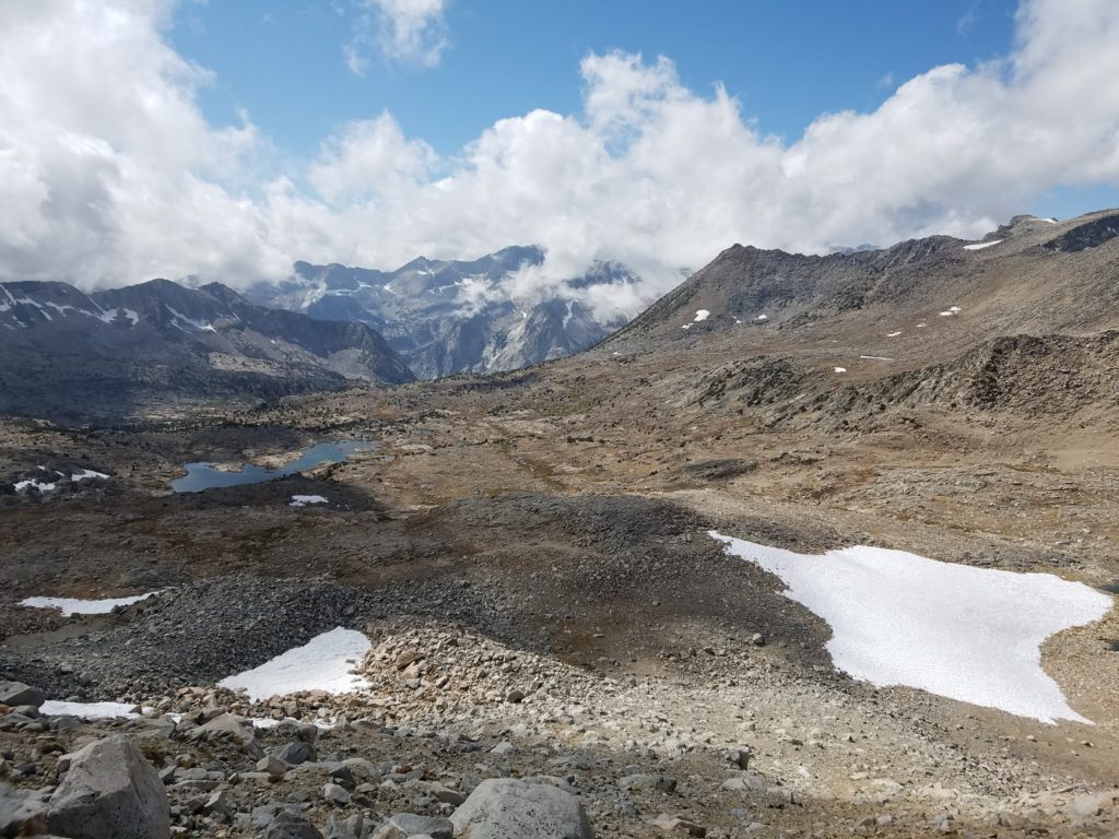
Finally I could see Mt. Agassiz in its entirety, the sharp Evolution Crest peaks, and the flanking Inconsolable Range.
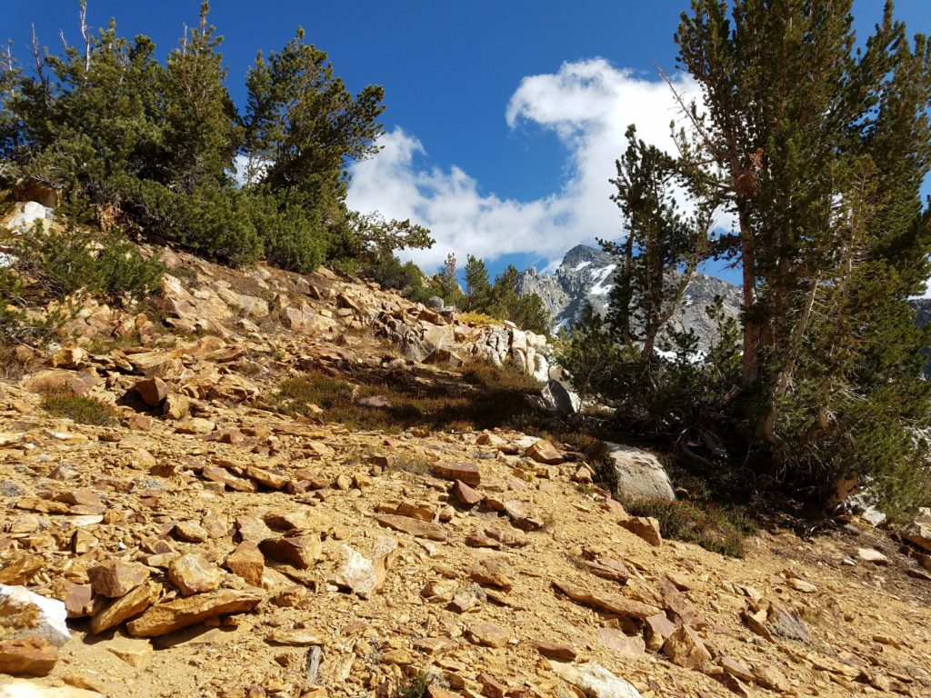
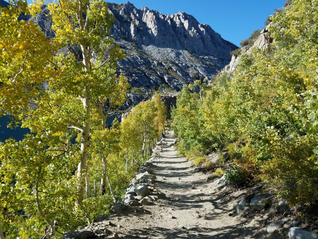
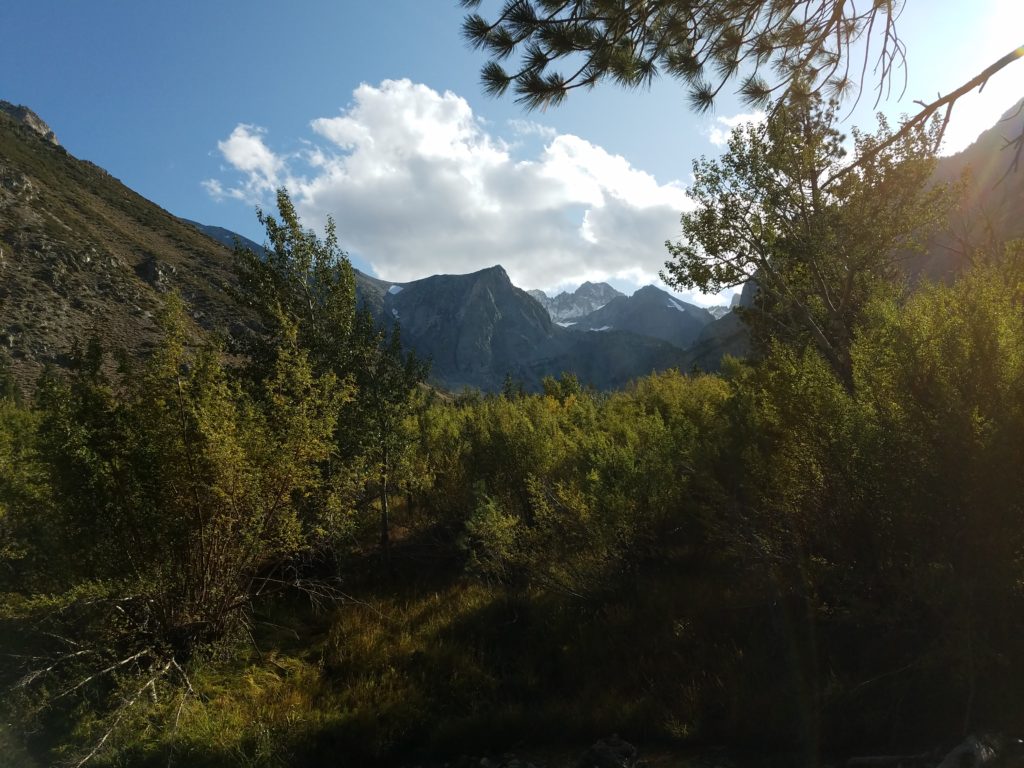
The rest of the hike went smoothly. In lower altitude and guarded somewhat by the wind, it felt a lot warmer and I started shedding clothes. Soon I reached the forest. Always the last stretch of trail feels like forever, but by 4:00 I could see South Lake and by 4:15 I emerged through a canopy of yellowed birches, a tunnel almost of celebration, and reached the trailhead.
Post script: For the rest of the day, I had a bad headache and felt out of it despite eating plenty of food and drinking lots of water. I retired early for an early morning the next day to attempt Middle Palisade. That morning I felt completely fine and had no issue with elevation during the attempt.
What I Learned on Mt. Agassiz
Acclimate
Unlike hiking Mt. Shasta, where I had a great acclimation plan, I went into this hike with almost no preparation – and did so knowingly. Two hours at the Whitney Portal the day before obviously hadn’t provided any really acclimation. (I hadn’t planned on that being the case.)
This aggressive plan came from want of time. I had already taken a secret day off to drive from Los Angeles to Bishop on Friday. Ordinarily, I would have done so very early in the morning and used the rest of the day to hike. But this time that couldn’t work. I needed some sleep after the 7 or 8 hour drive from San Francisco the night before, and otherwise used Friday morning to tour UCLA, my sister’s school.
I figured I would get altitude sickness, I just didn’t think it would be as bad as it was. Surely forgetting lunch didn’t help matters.
Going forward, I’ll try to structure all my trips to have a day of easy acclimation before going after a moderate peak and then a challenging peak. If that doesn’t work, I’ll tone down the hikes.
Pack lighter
Despite the frigid weather, I didn’t need as many clothes as I brought. This would be a bigger issue on Middle Palisade where I had even more layers in addition to crampon and an ice axe, but I still could have made matters easier for myself.
Double-check food
This should be a no-brainer, but sometimes it takes a bad experience to make something a lasting habit.
Time Splits
Began hike to Mt. Agassiz: 8:30a
Reached Bishop Lake: 10:30a
Reached Bishop Pass: 11:00a
Began hiking in the chute: 11:30a
Traversed to main chute: 12:00p
Turned around: 12:30p
Reached Bishop Pass trail: 1:30p
Returned to trailhead: 4:15p